Preserving Medieval Heritage with Centimeter-Level Precision at Sverensburg Castle

At the historic Sverensburg Castle site, the Norwegian Institute of Cultural Heritage (NIKU) is combining archaeology with cutting-edge technology. Using Septentrio GNSS/GPS receivers, researchers are able to record the exact location of every medieval handicraft uncovered—even deep within the ruins—with centimeter-level RTK accuracy. This remarkable precision is vital for organizing and analyzing centuries-old data. One […]
Precision at Sea How DEME Uses GNSS Technology to Power Offshore Dredging

In the world of commercial offshore dredging, maintaining critical shipping routes demands pinpoint accuracy. For ocean engineering leader DEME, ensuring uninterrupted operations near busy international ports is a daily challenge—especially when radio interference from military activity distorts GNSS signals. To overcome this, DEME integrates the AsteRx4 GNSS receiver from Septentrio aboard its work vessels. With […]
How Septentrio GNSS Solved GPS Challenges in Amazon Mining Operations

When mining operations in the Amazon were disrupted by unreliable GPS signals, expert Jim Elkins stepped in with a robust solution. By implementing the ARDVARC control system and replacing all existing GPS receivers with Septentrio AsteRx-U GNSS receivers, the team successfully restored full operational capability. Jim, who has worked with Septentrio GNSS receivers for over […]
Experience Pro-Grade Precision with GNSS Solutions Drone GPS — Buy Now

The heavens now differ. Today, unmanned aerial vehicles provide cinematic images, land survey, infrastructure inspection, and more, not only birds or clouds swooping overhead. But one factor determines all of that performance: GPS accuracy. You are flying blind if you are still flying using normal technology. It’s time you used the drone GPS of GNSS […]
Why the Smart Antenna A9 Is the Most Trusted GNSS Antenna in 2025

In 2025, precision and reliability in GNSS packages are non-negotiable. From land surveying to drone-primarily based mapping, experts require solutions that integrate accuracy with shrewd layout. Enter the Smart Antenna A9, the GNSS device is gaining popularity because the enterprise’s maximum performance depends on the tool. But why is it the main marketplace? Let’s explore […]
Why simpleRTK3B Pro Leads in Multi-Band RTK Positioning
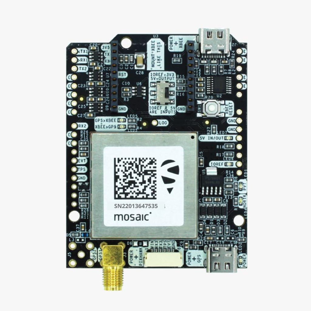
In industries where vicinity accuracy defines overall performance—surveying, robotics, self sustaining structures—popular GPS frequently falls brief. This is in which simpleRTK3B Pro, an excessive-performance multi-band GNSS board, takes the lead. Built for centimeter-level positioning, this solution offers more desirable reliability, ultra-rapid signal acquisition, and bendy integration. With multi-band Real-Time Kinematic (RTK) technology, simpleRTK3B Pro enables […]
M-2 GNSS Board Setting a New Benchmark in RTK Positioning
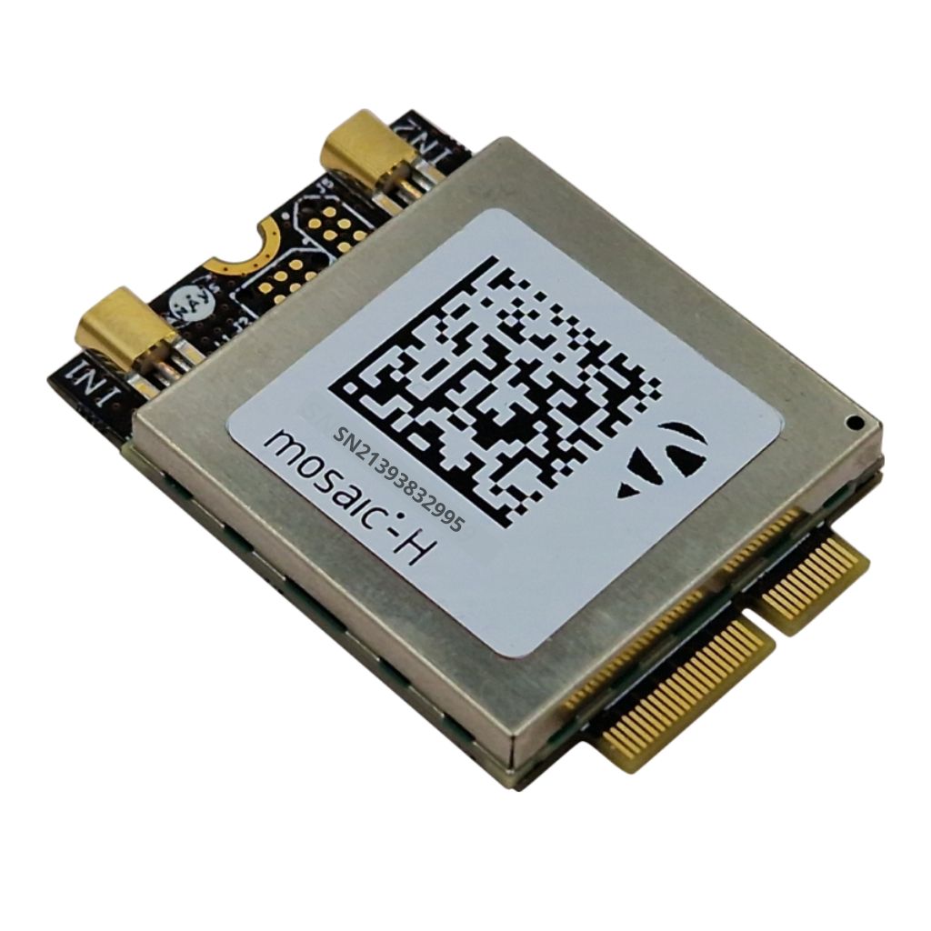
In the short-evolving international Global Navigation Satellite System (GNSS) era, the M-2 GNSS has emerged as a modern-day answer for high-precision positioning. With programs in surveying, self-sustaining cars, UAV mapping, and commercial enterprise automation, this GNSS board is placing new benchmarks in accuracy, reliability, and overall performance. But what makes the M-2 GNSS board stand […]
How GNSS Technology Improves UAV Precision

Unmanned Aerial Vehicles (UAVs), normally referred to as drones, have revolutionized industries which include surveying, agriculture, production, and protection. However, their overall performance and accuracy carefully depend on particular navigation and positioning. This is wherein GNSS (Global Navigation Satellite System) technology plays a crucial position. A GNSS receiver for UAVs permits actual-time positioning, enhances flight […]
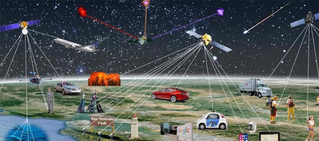
How RTK & PPP Technologies Improve GNSS Receiver Accuracy
GNSS receivers decide positions using satellite TV for PC signs. However, their accuracy is affected by interference, satellite mistakes, and atmospheric situations. RTK (Real-Time Kinematics) and PPP (precise point positioning) improve positioning accuracy for expert applications. Industries like surveying, construction, agriculture, and self-enough systems require particular area facts. GNSS mistakes can lead to inaccurate mapping, […]
The Evolution of GNSS Receivers: Past, Present, and Future
Global Navigation Satellite Systems (GNSS) have revolutionized the way we navigate and position objects on Earth. GNSS receivers, in particular, play a critical role in enabling precise location-based services by receiving signals from satellites in space. The development of GNSS receivers has been a journey of innovation, marked by advancements in technology that have increased […]