How GNSS Technology Improves UAV Precision

Unmanned Aerial Vehicles (UAVs), commonly known as drones, have revolutionized industries including surveying, agriculture, construction, and security. But their performance depends on one critical factor: accurate navigation and positioning. This is where GNSS (Global Navigation Satellite Systems) technology plays a vital role.
Standard GPS alone is not enough for professional UAV operations that demand precision. Multi-band, multi-constellation GNSS receivers, combined with correction technologies like RTK (Real-Time Kinematic), enable drones to achieve centimeter-level accuracy. This article explores how GNSS technology improves UAV precision across key applications.
Why GNSS Accuracy Matters for UAVs
Drones rely on GNSS for several essential functions: waypoint navigation, automated flight paths, geofencing, return-to-home, and precision landing. In each case, positioning accuracy directly affects mission success:
- Aerial Mapping: A 2-meter GPS error produces distorted orthomosaics and inaccurate elevation models. Centimeter-level accuracy eliminates the need for ground control points.
- Infrastructure Inspection: Drones inspecting power lines, pipelines, or bridges must know their position relative to the asset within centimeters.
- Precision Agriculture: Crop health maps, variable-rate application, and yield estimation all depend on accurate georeferencing.
- Autonomous Operations: BVLOS flights and drone-in-a-box systems require reliable positioning for safe navigation and landing.
Multi-Constellation and Multi-Frequency GNSS
Modern GNSS receivers track signals from multiple satellite constellations — GPS (USA), GLONASS (Russia), Galileo (Europe), and BeiDou (China) — across multiple frequency bands (L1, L2, L5). This provides several advantages for UAV operations:
- More Satellites in View: With 40+ satellites available, GNSS receivers maintain a strong fix even in challenging environments like urban canyons or near structures.
- Faster Fix Times: Multi-constellation support reduces Time-To-First-Fix (TTFF), getting your drone ready to fly faster.
- Improved Redundancy: If one constellation has issues, others provide backup. This is critical for safety-of-life applications.
- Atmospheric Error Correction: Multi-frequency tracking allows receivers to measure and correct ionospheric delay, significantly improving accuracy.
RTK Corrections for Centimeter-Level Accuracy
Real-Time Kinematic (RTK) is the most widely used correction technology for high-precision drone operations. An RTK-equipped drone receives correction data from a base station or NTRIP network, achieving 1–2 cm accuracy in real time.
For surveying and mapping applications, RTK eliminates the need for ground control points (GCPs). The drone’s position is known so precisely that photogrammetric outputs — orthophotos, digital elevation models, and 3D point clouds — can be generated with survey-grade accuracy directly from the flight data.
Anti-Jamming Technology for Reliable UAV Operations
Radio frequency interference is a growing concern in urban areas and near industrial facilities. Standard GPS modules can lose lock entirely when interference is present. Advanced GNSS receivers with anti-jamming technology — like Eview GNSS’s AIM+ interference mitigation — filter out unwanted signals and maintain position lock in challenging RF environments.
This is particularly important for drone operations in or near cities, ports, industrial sites, and high-interference zones where interference is common.
Eview GNSS Solutions for UAV Applications
Eview GNSS offers a range of products suitable for UAV integration:
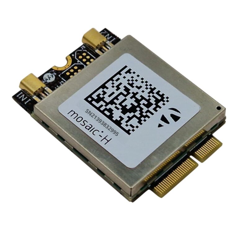
- GNSS Board Modules — Compact, lightweight boards that integrate with Pixhawk, ArduPilot, and other flight controllers
- RB3 AsteRx-m3 Pro+ — Multi-frequency receiver with AIM+ anti-jamming, suitable for ground stations and base stations
- UAV GNSS Applications — Learn more about GNSS technology deployed in drone operations
Whether you are building a custom drone, upgrading an existing platform, or designing a complete UAV system, Eview GNSS has the technology and expertise to help you achieve the accuracy your applications demand.
Frequently Asked Questions About GNSS for Drones and UAVs
How accurate does drone GPS need to be for surveying?
Professional drone surveying requires centimeter-level accuracy. RTK-enabled GNSS modules provide 1–2 cm accuracy, eliminating the need for ground control points in many mapping workflows.
What is the best GNSS module for drone mapping?
The best GNSS module for drone mapping supports multi-band (L1/L2/L5), multi-constellation tracking with RTK correction input. Compact GNSS board modules designed for UAV integration offer the right balance of size, weight, and precision.
Can I add RTK to my existing drone?
Yes. Many drone platforms support RTK upgrade via compatible GNSS modules that integrate with Pixhawk, ArduPilot, and other common flight controllers.
What is anti-jamming GNSS and why does it matter for drones?
Anti-jamming GNSS technology filters out radio frequency interference that can cause signal loss. This is critical for drone operations near power lines or industrial sites where interference is common.
How many satellites does a drone need for accurate positioning?
A minimum of 4 satellites is required for a 3D position fix, but 8–12 provides much better accuracy. Multi-constellation GNSS receivers typically track 20–40 satellites simultaneously for robust positioning.